Thursday, February 15th 2024
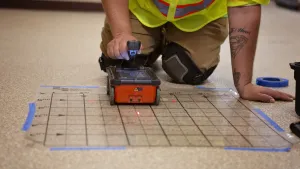
Lidar:
Lidar, which stands for Light Detection and Ranging, is a
revolutionary technology that employs laser beams to measure distances and
create highly detailed 3D representations of surfaces.
Photogrammety:
Photogrammetry creates 2D and 3D models from photographs.
Software processes the photos to get accurate spatial information.
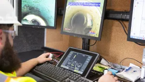
Thermograghy:
Thermography, utilizing infrared technology, introduces a
new dimension to underground utility designation and mapping. By capturing
temperature variations in subsurface structures, thermography provides insights
into potential issues such as leaks or faulty components.
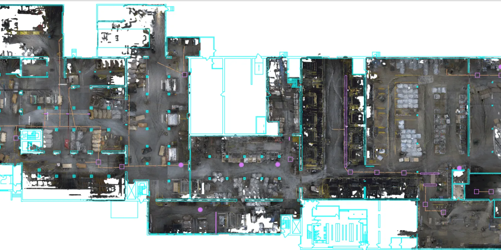
3D Models for Enhanced Mapping:
Integrating Lidar and photogrammetry results in highly
detailed and accurate 2D and 3D models above ground and below the surface for
new construction that can be referenced later. The models offer a comprehensive
view of the project allowing planners, engineers, and construction teams to
visualize spatial relationships between different utilities and structures.
This enhanced understanding facilitates more informed decisions throughout the
project life cycle.
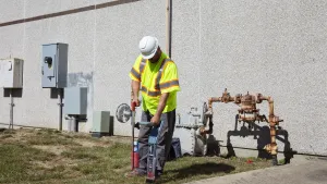
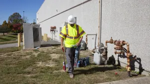
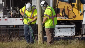
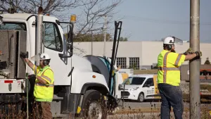
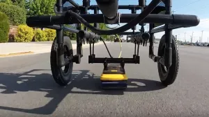
Blood Hound has a comprehensive suite of Lidar, Thermal, and RGB equipment that can be used on the ground or in the air to get you the data you need. By seamlessly integrating these tools, we unlock the potential for creating precise 3D models that revolutionize the way projects are planned, designed and executed.