Ground
Penetrating
Radar (GPR)
For
Locating the undetectable underground
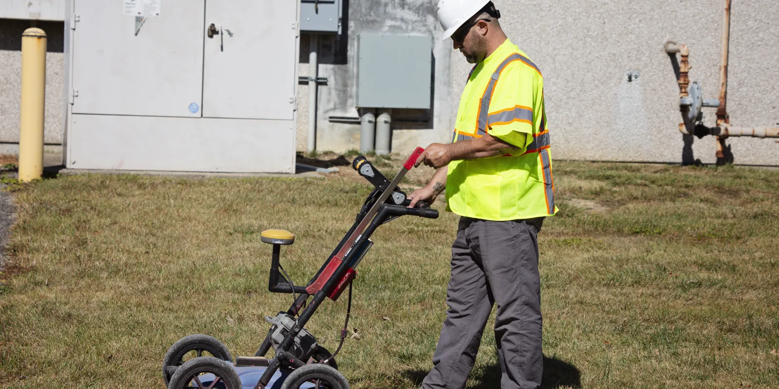
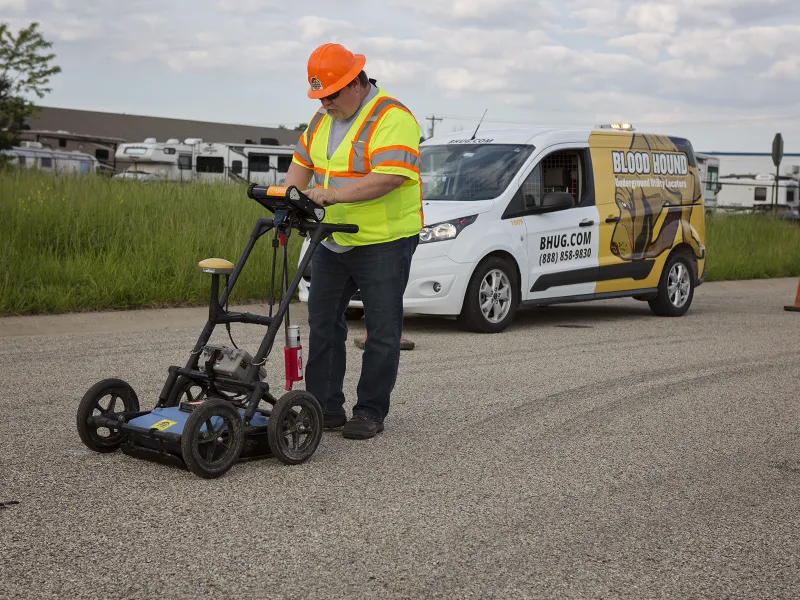
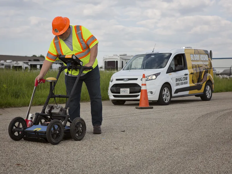
Ground penetrating radar (GPR) uses
electromagnetic waves to capture images below the ground's surface. Blood Hound uses
state-of-the-art GPR
technology to locate and map unmarked underground utilities and structures which are undetectable by
traditional locating methods. This non-invasive, and cost-effective technology provides
maximum precision for land
surveying, environmental studies, and construction and re-construction
projects.
Accurate
Non-invasive
Cost-effective
GPR
Detects the undetectable:
- Septic Tanks
- Fire Lines
- Chilled Water Lines
- Irrigation Lines
- Low Voltage Control Wire
- Private Alarm Wires
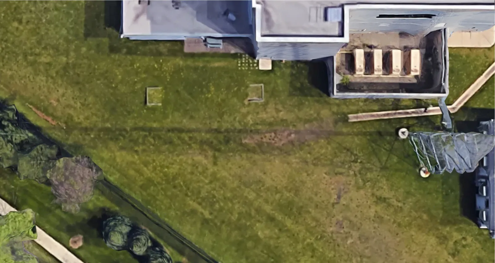
Plotting the Underground
GPR Tech Plots out a grid
GPR Tech Plots out a grid
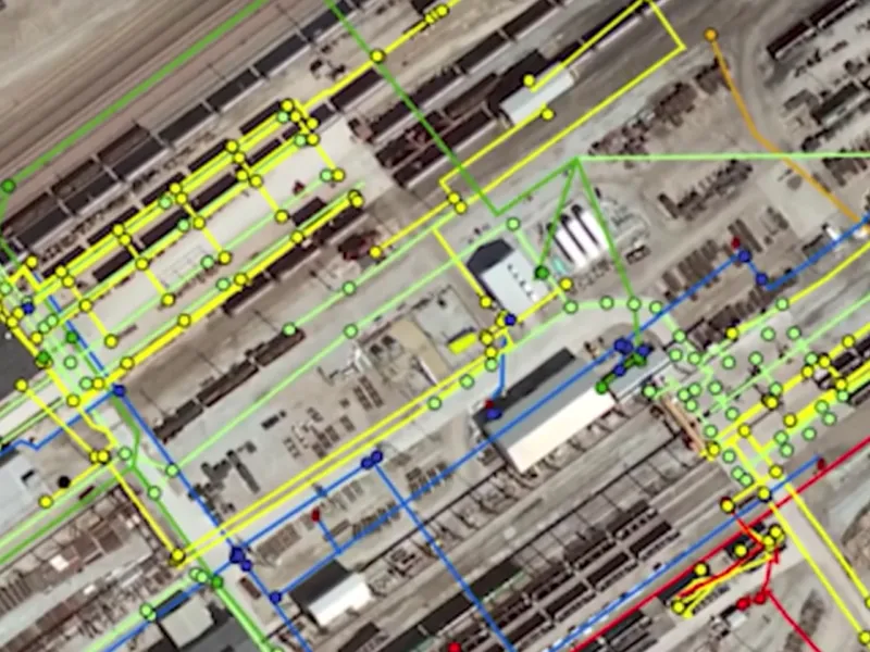
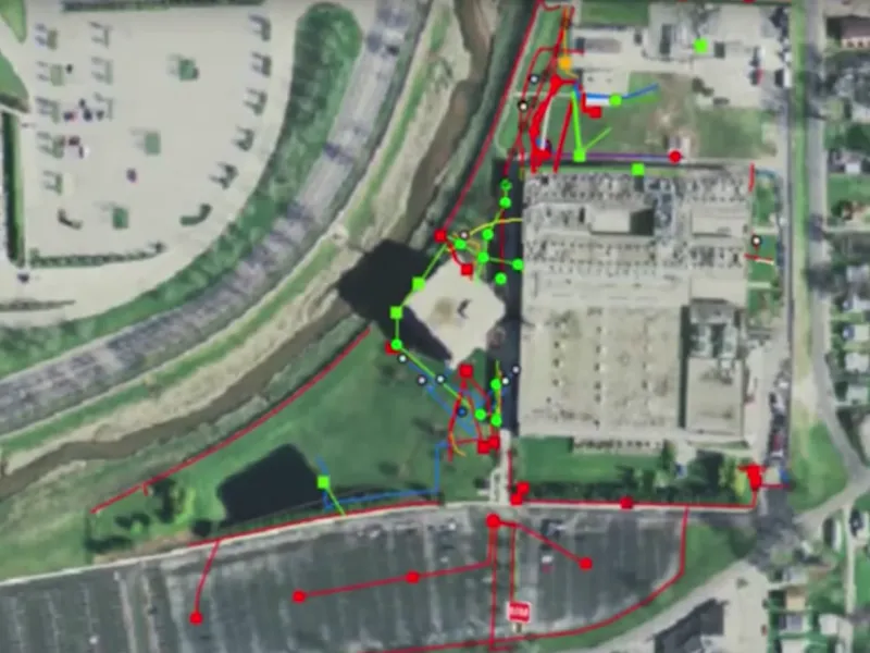
Private Utility Mapping
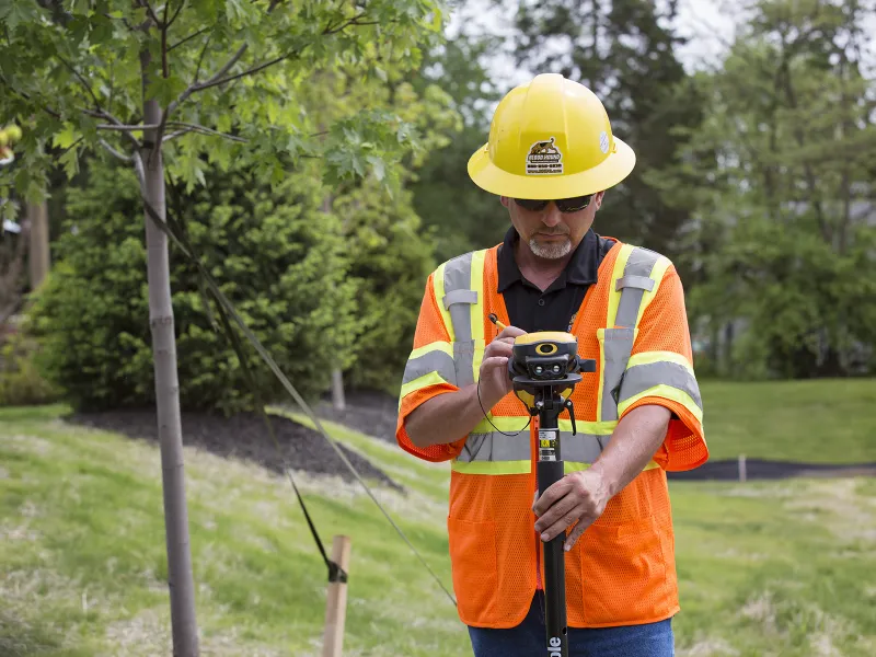
After locating all underground utilities, Blood Hound maps the ground markings using Trimble GPS equipment and mapping software,* in compliance with the standards required by the Pipeline and Hazardous Materials Safety Administration (PHMSA). The maps are a value-added resource which reduces the cost of future planning and construction.
*Maps are not survey grade.