Thursday, January 18th 2024
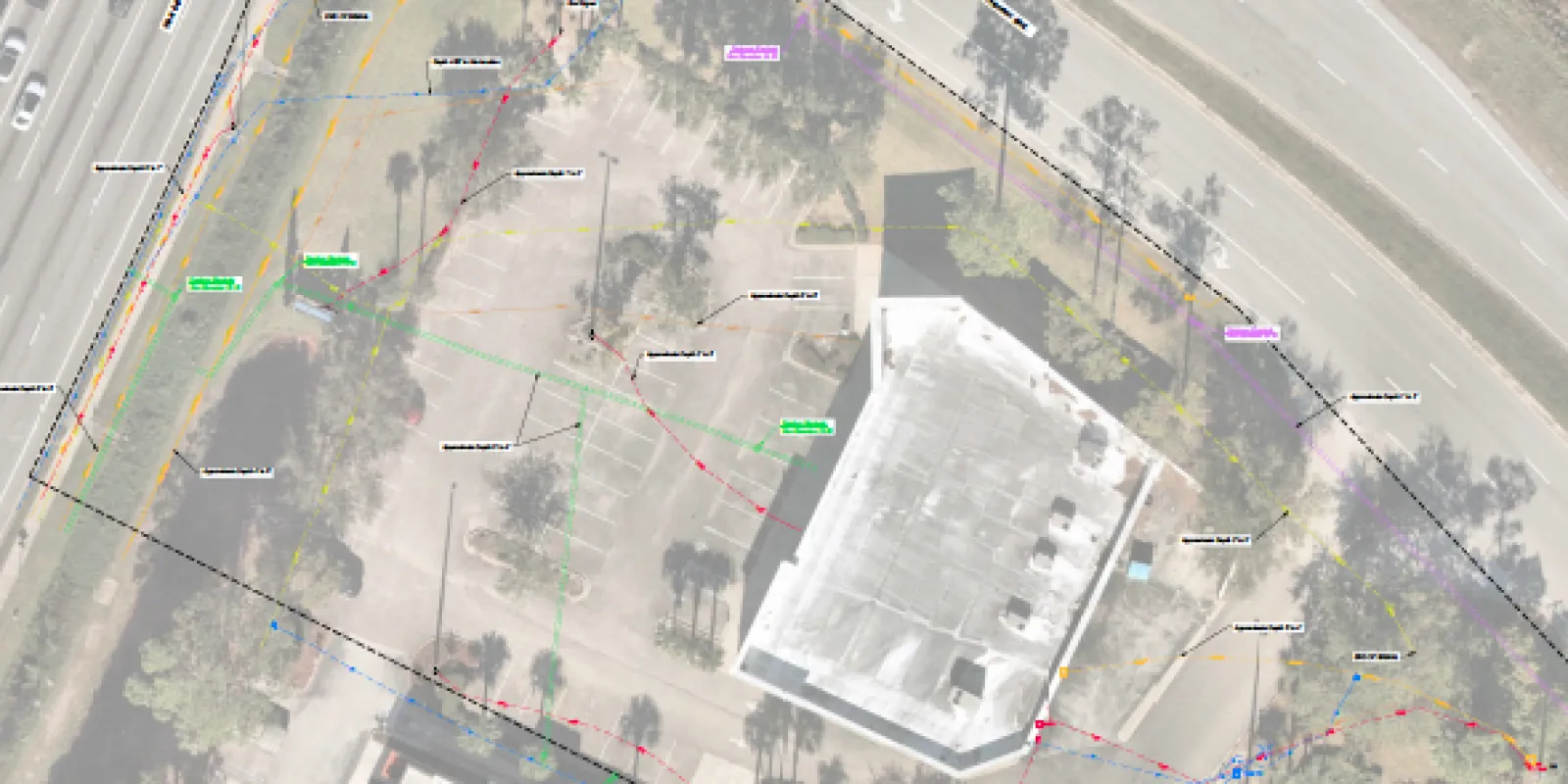
Accurate utility mapping involves the precise location and
documentation of underground utilities such as water and sewer lines, gas
lines, electrical cables and telecommunication conduits. In urban planning
where space is limited, having a comprehensive understanding of what's beneath
the surface is crucial.
Risk Mitigation
Accurate utility mapping significantly reduces the risk of
unforeseen conflicts and damage during construction projects. By precisely
identifying the location of underground utilities, planners can proactively
address potential clashes with proposed construction elements. Early detection
of conflicts helps avoid costly repairs, project delays, and ensures a safer
working environment.
Cost Savings
One of the primary benefits of underground utility mapping
is the potential for substantial cost savings. By preventing conflicts in the
early planning phase, projects can proceed more efficiently and within budget.
This proactive approach minimizes the need for expensive emergency repairs,
changes to initial designs, and downtime, contributing to overall project
cost-effectiveness.
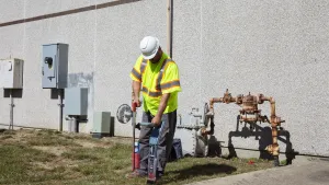
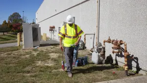
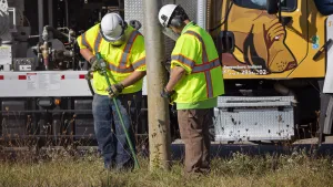
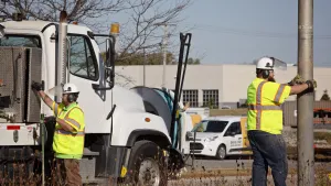
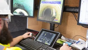
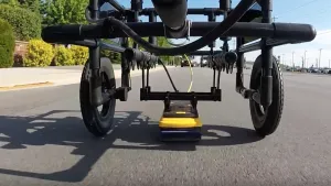
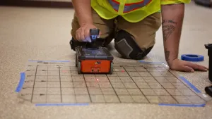
Blood Hound offers several Geospatial services including
underground utility mapping. We leverage state of the art technology, including
ground-penetrating radar and electromagnetic induction to designate underground
utilities. Spatial data is then collected using GNSS receivers or Robotic total
stations. The information is then meticulously compiled into detailed maps,
providing a clear understanding of the underground infrastructure.
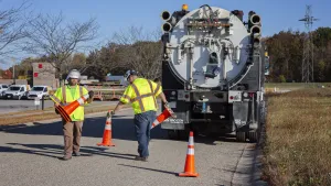
We work under contract with Engineering and Surveying firms to collect this data using the ASCE 38-22 and 75-22 standards.